
Hardin County gripped by winter storm
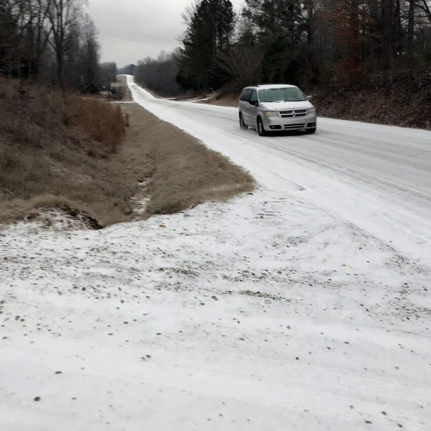 Tenn. 69 near Hilllbillys Wing Shack is covered primarily with sleet.
As west Tennessee braces for what is expected to be the main event in Monday’s winter storm, roads in Hardin County are already coated in a mixture of sleet and snow.
In the interest of safety, Hardin County Fire Chief Melvin Martin this morning is urging everyone to “stay home unless it’s an absolute emergency."
Hardin County Schools and government offices are closed for the Presidents Day holiday, but all Jackson State Community College and Tennessee College of Applied Technology campuses have been closed and classes canceled instead of moving online due to the potential for power outages. Convenience centers in the county are closed.
Some area businesses are closed today or are closing early. The Courier’s phones have been transferred to a staff member’s cell phone, but the office is closed.
Shiloh Battlefield and the Corinth Civil Ware Interpretive Center are also closed.
Martin said he’s not aware of any serious weather-related motor vehicle crashes in the county. Firefighters did respond Sunday night to a house fire at 3515 Hardin Creek Road “out in the middle of nowhere as far as you can get.”
A chimney in a wood stove caught the attic on fire, but the occupants were able to get out safely, he said.
The National Weather Service forecast for Savannah at 10 a.m. is calling for snow and sleet, possibly mixed with freezing rain before 2 p.m., then snow, possibly mixed with sleet between 2 p.m. and 3 p.m., then snow after 3 p.m.
High near 23. Wind chill values as low as 9. North wind around 10 mph. Chance of precipitation is 100%. Little or no ice accumulation expected.
Total daytime snow and sleet accumulation of 3 to 5 inches possible.


